Quick Facts:
- AllTrails link: Robert Burnaby Park Loop, 2.1km with 63m elevation
- Difficulty: moderate, with more technical sections through the woods
- Traffic: light
- Facilities: flush toilet available near the tennis court, picnic tables, playground, sport facilities, swimming pool
- View: wilder than expected network of trails, crossing small streams
- Overall score: 7/10
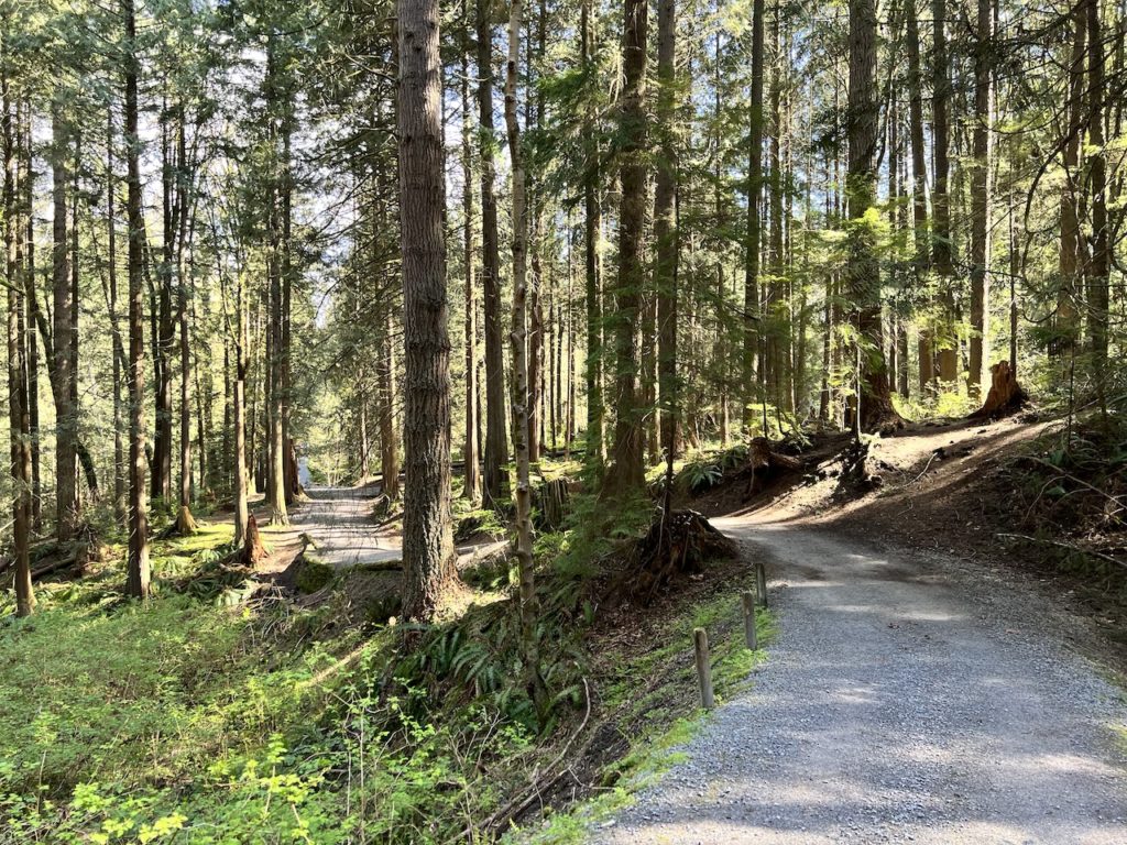
For an urban park, Robert Burnaby Park was surprisingly wild. It’s set on a hill side, so there was significant up and downhills through this loop. It also features a maze-like network of trails, some covered with gravel, some much more primitive and almost back-country like. What’s more, it’s entirely unmarked, with no map and no signage anywhere in the park. This provided a great sense of exploration but also necessitates a good GPS map to avoid getting frustratingly lost. Google Maps does not provide enough details to explore the wilder trails, so I recommend AllTrails (cell signal required) or Maps.me (offline map).
Tina and I took our new baby out for a walk, expecting an easy stroll through an urban park. Our walk started with a stroller-friendly gravel path.

Following the AllTrails loop, we were quickly met with flights of stairs.


The stairs took us down to a small creek, then it’s upstairs again.

Very soon, the path took us off gravel and onto dirt trails.

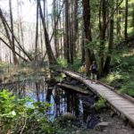
The trails were wild. Sections were muddy, overgrown, and crumbling. If not for the maps, shoe prints, and the occasional boundary markers, we weren’t sure if we were even on trails at times.


We crossed a small creek by stepping over some rocks, and another time over a half broken bridge.


Soon, we emerged from the wilderness and found ourselves back on a gravel path. The maze of unmarked trails continued, with no marking whatsoever even on the well maintained gravel trails. The gravel paths were a little hilly but stroller friendly.


We really weren’t sure if the dirt trails were city-sanctioned or basically just formed by hikers exploring the wilderness. We kept looking around for clues in the park, but there were no signage or maps anywhere. The dirt trails were established enough to be drawn on hiking maps and there were city boundary markings, so I think at least the city is aware of these trails.

After about 50 minutes or so, we finished the loop and checked out the open fields and playground near the swimming pool and tennis court.


It was a very interesting experience to explore this park. If you stayed on the gravel trails, it’s a nice urban park with a sizable forest to stroll through. If you ventured onto the dirt trails, it quickly becomes a wilderness exploration that requires some caution and skill, which may make things more exciting for some.
If you weren’t prepared, though, it’s very easy to get lost in the unmarked maze of a trail network. It reminds me of another small, wilder-than-expected urban park whose trails were also unmarked and easy to get lost in: Mahon Park in North Vancouver.
Discover more from Outdoor Family
Subscribe to get the latest posts sent to your email.

