Quick Facts
- Parking and Launching: Imperial Landing
- Launching type: dock
- Motor boat traffic: moderate (commercial fishing vessels in the Steveston Channel, tug boats and large ships on the Fraser River South Arm)
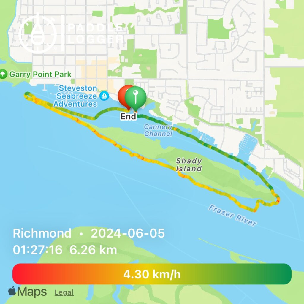
- Typical paddling distance: 6.5km
- Facilities: no toilets available at launch site, free parking, tons of activities in Steveston village
- View – unique views of historic sites in the Steveston Channel, fishing boats, waterfront condos, and marsh wilderness. Wider and wilder views of the Fraser River and Straight of Georgia on the exposed side of Shady Island
- Difficulty – advanced. Large boat wakes are frequent on the Fraser River. Also caution should be taken with regards to tides and Fraser River flow speed.
- Overall score – 6/10
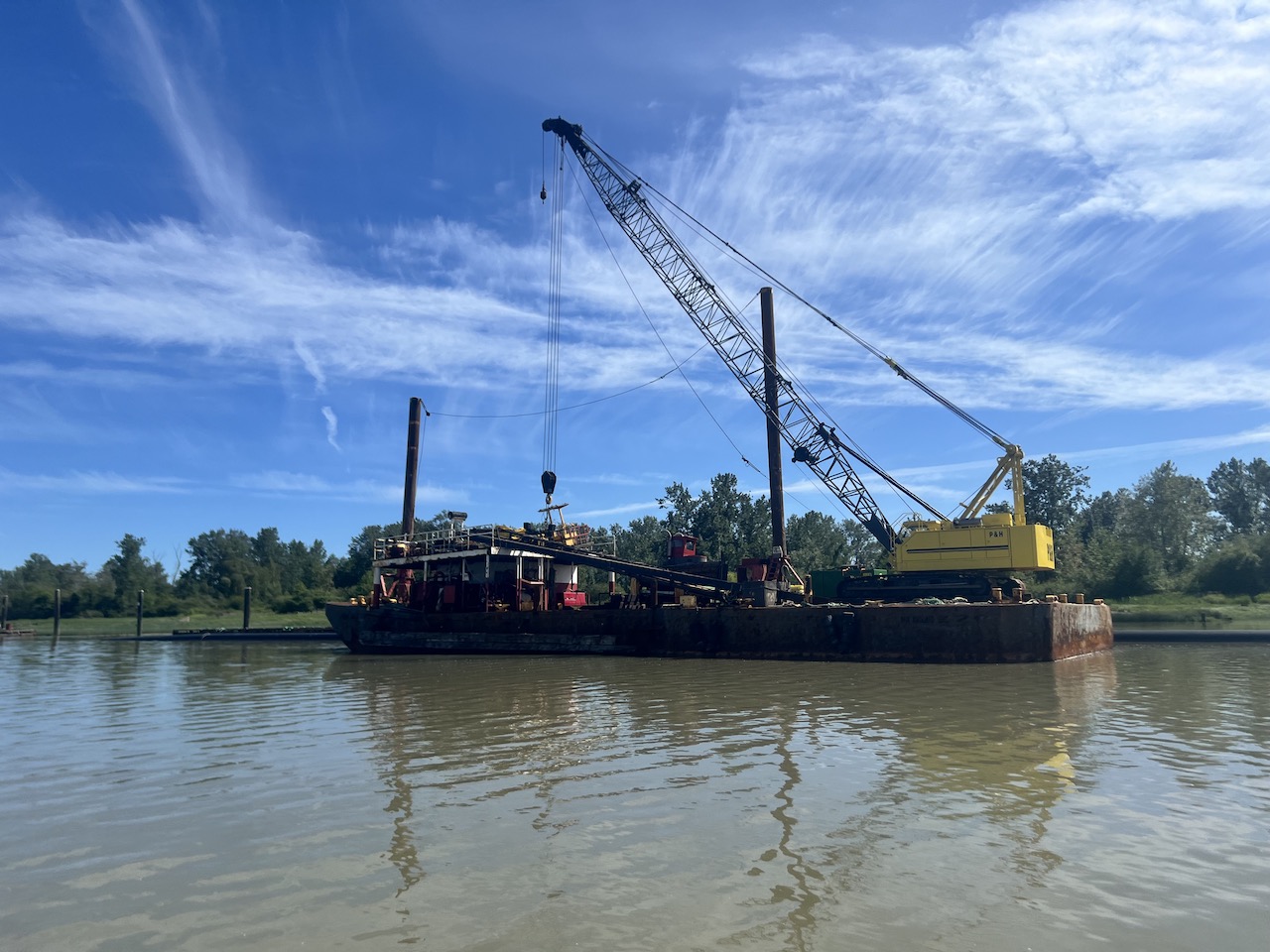
Shady Island is a long, narrow island at the very end of the mighty Fraser River separating the Fraser South Arm and Steveston Channel. It is formed by sedimentation and it creates a barrier that protects the Steveston Harbour and all its fishing and commercial activities.
During one of my previous paddles in Steveston, there was a sign that warned people against leaving the Steveston Channel. Inexperienced paddlers have been known to be overwhelmed by the currents in the Fraser River, which is a completely different beast compared with the mellow side branch. The sign has since been removed, but the danger remains.
I scouted the flow speed in the main Fraser River during one of my recent paddles by climbing onto the rocky western tail of Shady Island. The Fraser seemed to be flowing at a sleepy 2-3 km/h.
I devised a plan to circumnavigate Shady Island at high tide clockwise. High tide so that I have more room to play with and it’s easier to cross barriers. Clockwise so that I would go with the river stream on the South Arm side.
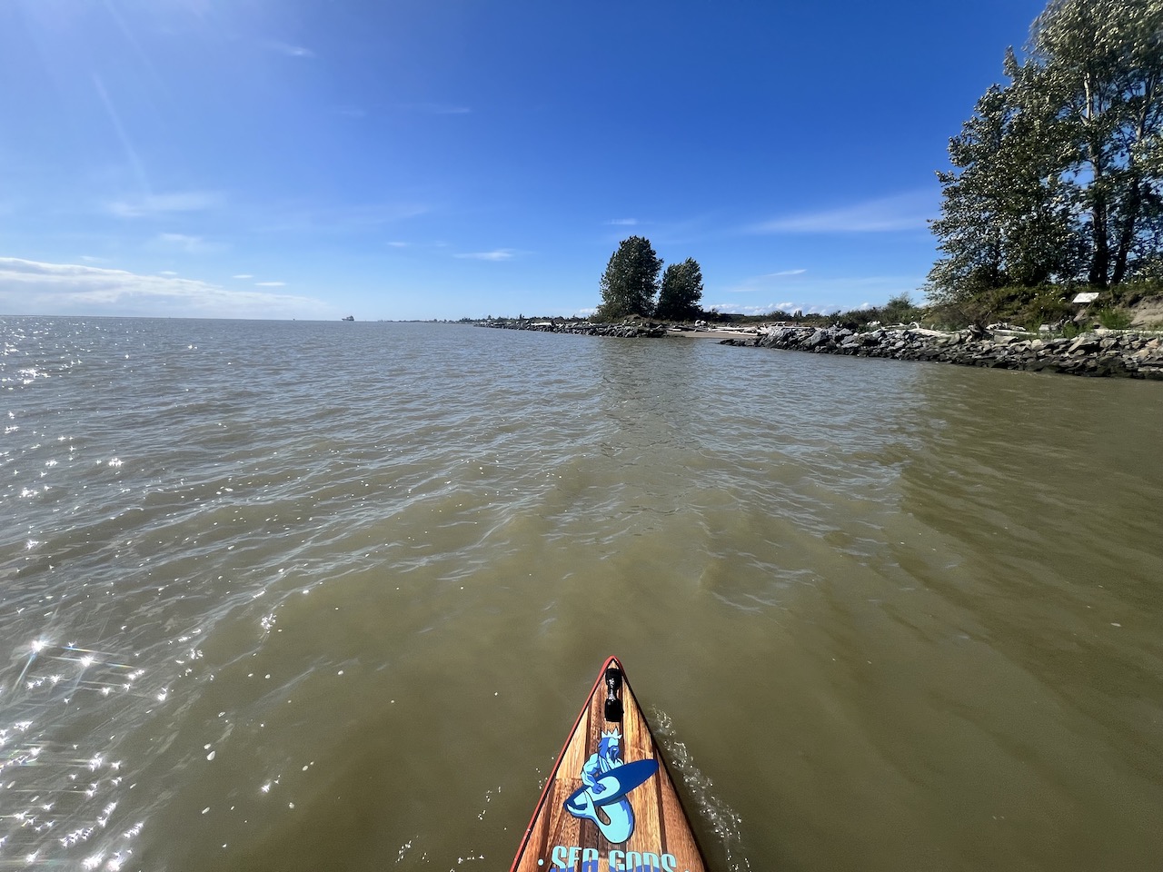
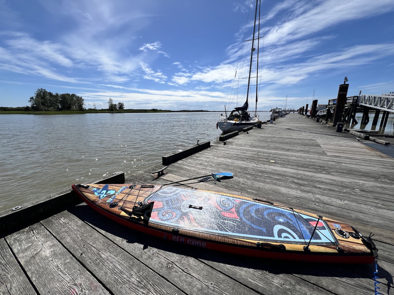
I launched onto Steveston Channel from Imperial Landing as usual, and travelled east.
Soon I came upon the eastern end of Steveston near London Landing, blocked off with a row of logs. My decision to come at high tide allowed me to go around the logs on the right.
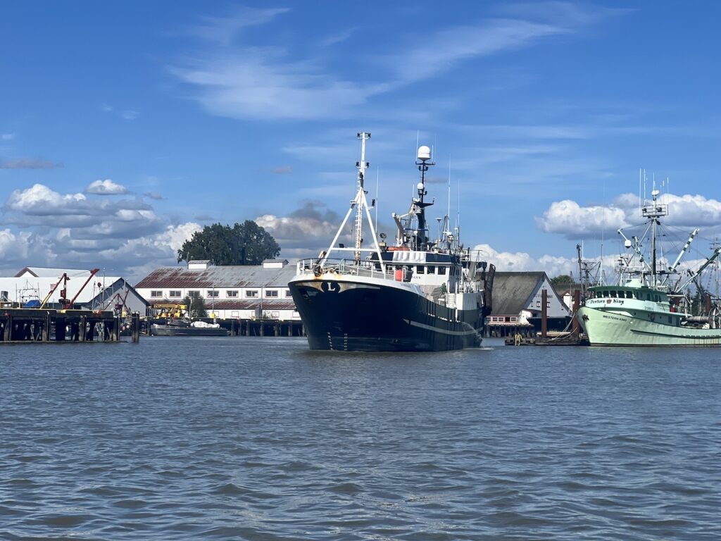
Almost like a warning, a tug boat travelled downstream on the Fraser River just before I rounded the eastern tip of Shady Island. Tug boats are no joke. It kicked up a big row of 2-3 feet waves, and I had to dig deep to stay on my feet. I would likely have been in knocked into the water if I met this tug boat during my first 50 hours of paddling.
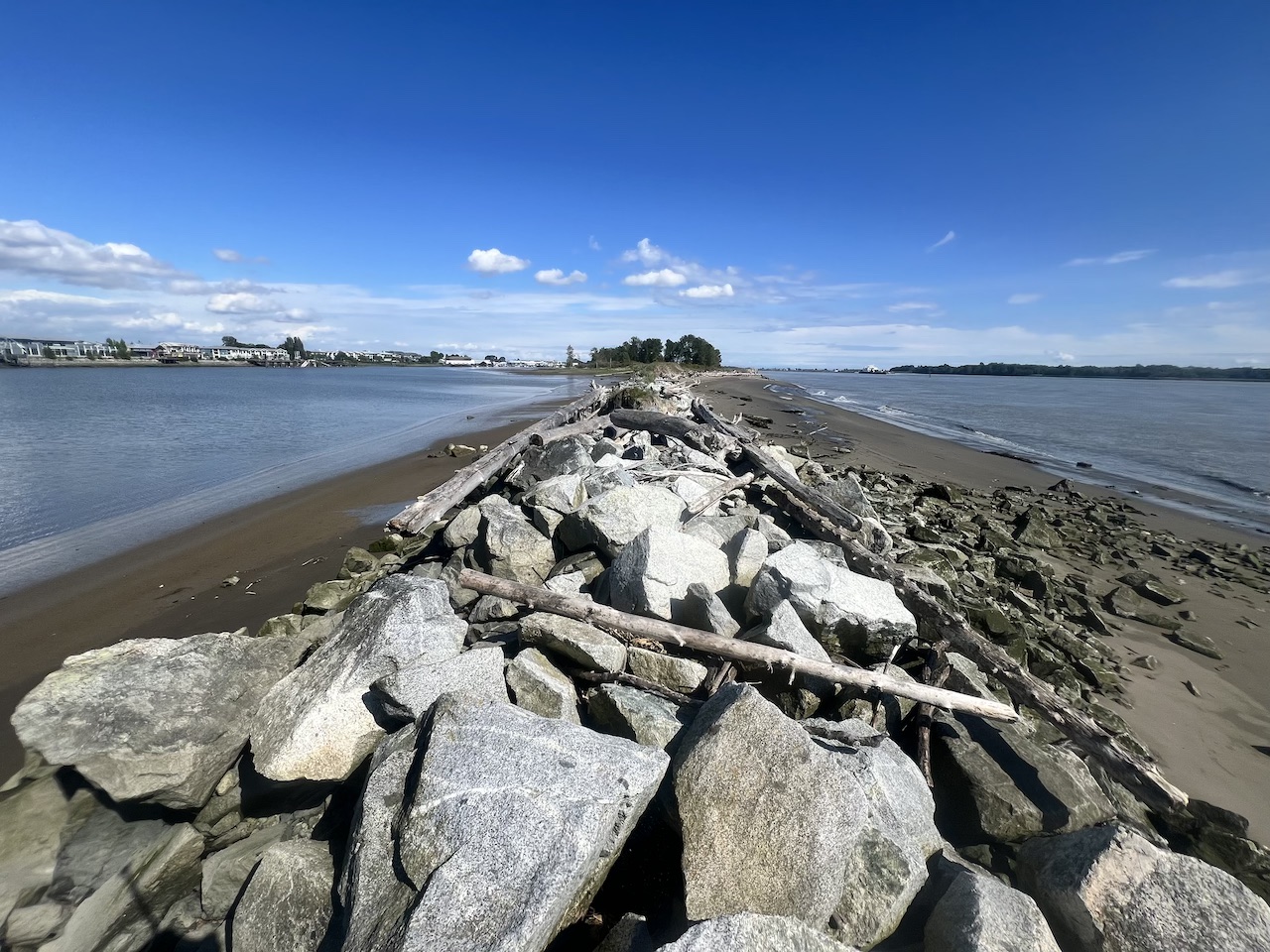
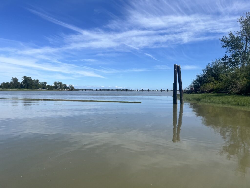
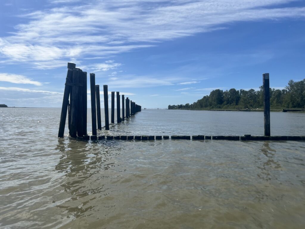
Undeterred, I got onto the Fraser South Arm. First thing I noticed was that it’s not a natural coastline like Deas Slough. It was truncated by lots of wood pilings, presumably to protect this island from erosion. This pushed me 100m further out into the Fraser River than I would have liked.
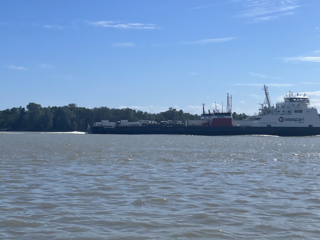
Secondly, the Fraser was busy wish shipping activities! I saw at least 4 large shipping vessels which also created various sizes of wakes.
There were also some nice sandy beaches on this side of Shady Island, unlike the sticky, muddy quicksand on the Steveston Channel side.

I expected to see some eagles, herons, or even seals. But I didn’t expect to see another paddleboarder on this side. We exchanged some pleasantries. The fellow paddler had been paddleboarding around this section of Fraser River many times, including making the crossing to Ladner and Westham Island. “Just make sure you don’t get in the way of any ships!” he said.
I don’t think I’m ready to take on the 800m dash across shipping lanes, potentially getting in the way of ships that can’t stop. It would take more than 10 minutes to make this crossing!
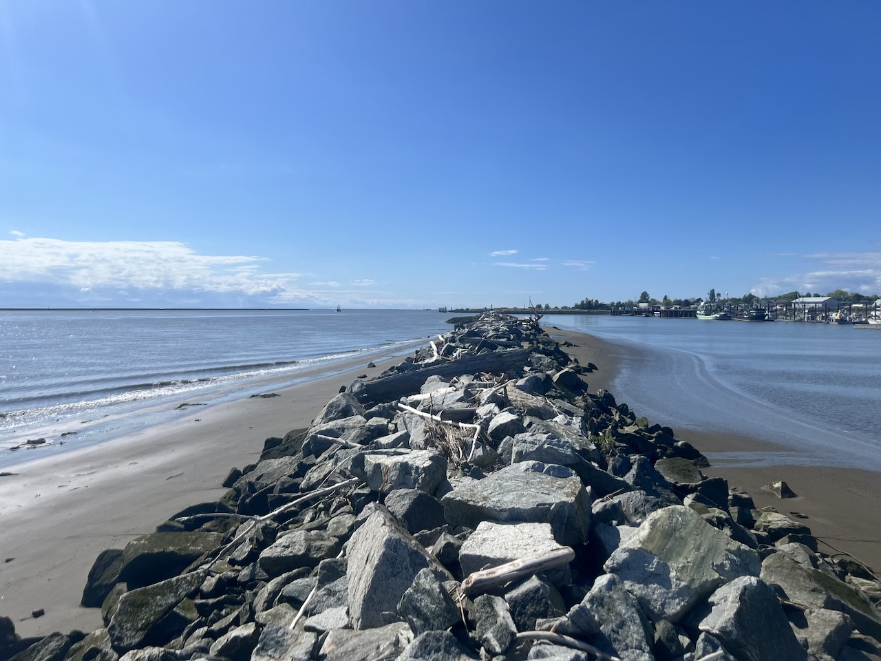
As I got closer to the western end of Shady Island, the sandy beach and trees turn into a man-made boulder dike. It was easy to stay close to the Island because of a southerly wind constantly pushing me towards the dike. It occurred to me that if there was a significant northerly wind that pushes me away from the Island and deeper onto Fraser, that could have been a problem.

I easily made the hairpin turn and got back into the protected Steveston Channel. A large fishing ship slowly pulled out of the harbour as I entered. Another good reminder that boating traffice in Steveston Channel should not be taken lightly either.
All in all, it was an interesting paddle, punctuated with some doses of adrenaline from passing ships. It should definitely not be attempted by beginners. A strong balance and manuvering skills are prerequisites. The ideal conditions for this paddle would be warm weather, weekend (less commercial traffic), high tide, low flow in the Fraser, and low, preferably southerly, winds.
2 responses to “Paddling around Shady Island near Steveston, Richmond”
I’ve always been curious about paddling put that way since I live right in Richmond.
Thanks as always for your detailed paddle reports!
No problem at all, glad you liked my report!