
Traboulay PoCo Trail is a beautiful mixed use loop surrounding Port Coquitlam. Spanning 25.3km, the trail is almost entirely separate from vehicle traffic. With minimal elevation changes, there wasn’t any particularly challenging section.
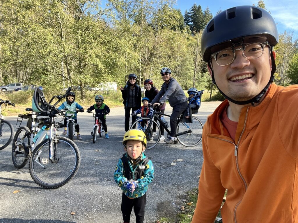
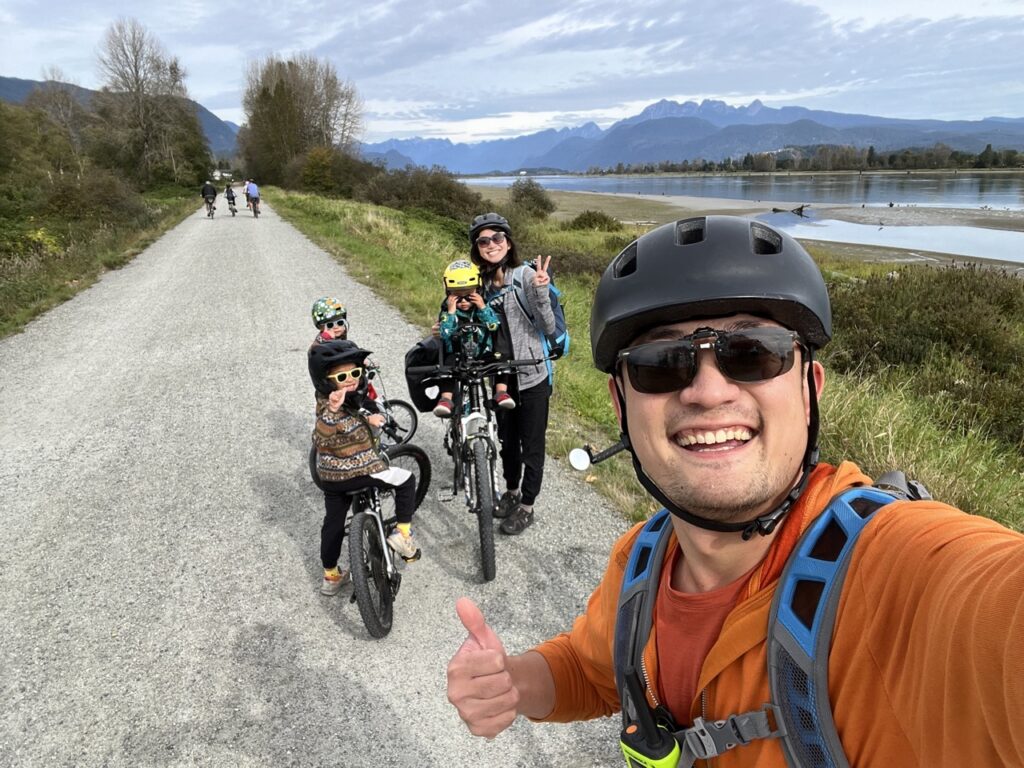
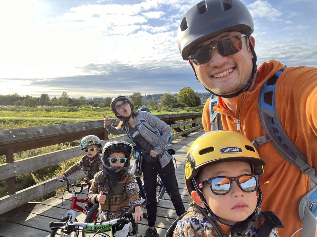
With an invitation from Aaron and Amy, we tackled this beautiful loop trail on a cool autumn afternoon. As this was a loop through many parks around a suburban city, there were countless access points with free parking all along the trail. We started in the parking lot at Citadel Landing, which was right off the Mary Hill Bypass and probably the quickest entry point for Vancouverites. A minor downside was that it’s basically just a gravel parking lot with no facilities.
We went counter-clockwise. The trail was broken into 5 distinct sections, so we went in this order: South Pitt River, North Pitt River/DeBoville Slough, Hyde Creek/Coquitlam River, Downtown, and ƛ̓éxətəm (tla-hut-um) Regional Park.
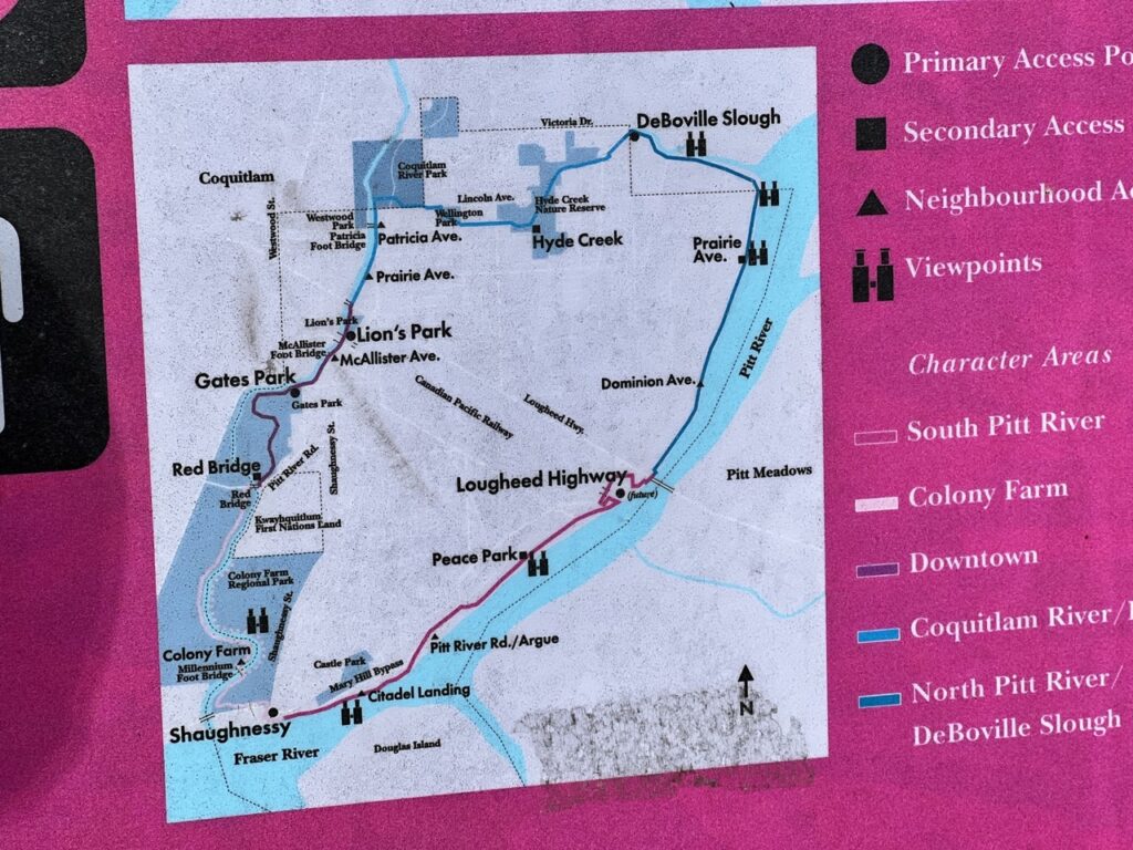
South Pitt River
Right off the Citadel Landing parking lot, the PoCo trail along Argue St. was the narrowest and most difficult to bike on. As this was a weekend afternoon, there were many pedestrians enjoying the trail too, so we opted to bike on the street instead. This was the only on-street biking of the entire 25km loop. Thankfully, the traffic was light and the cars gave us plenty of space when passing.
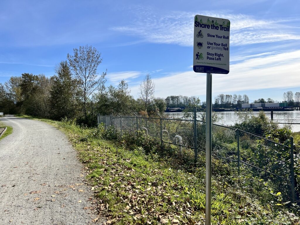
After this short stretch, the trail became a biker’s playground. 99% of the trail was on dedicated mixed use lanes separated from cars. The city spent considerable effort to connect close to a dozen parks on its perimeter and maintain the trail.
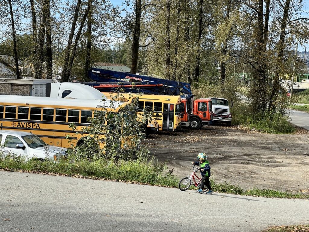
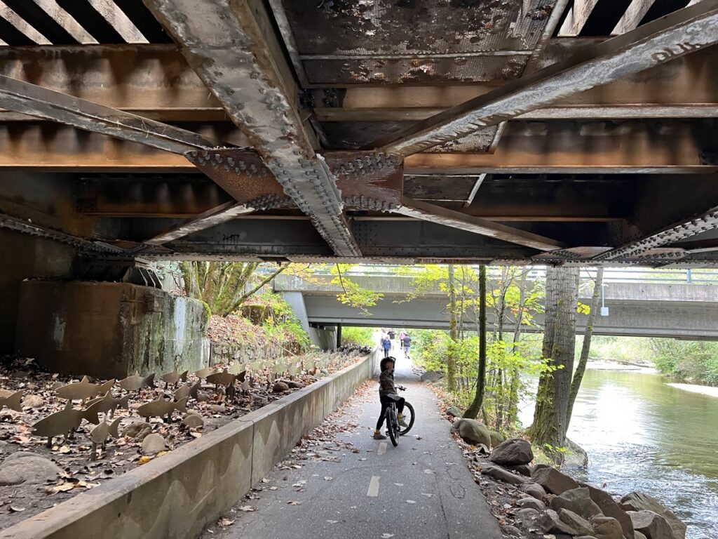
We took our time on the South Pitt River leg, which was about 6km. Parts of this section were distinctively industrial, going past a work yard and for a short time, along the very busy Mary Hill Bypass in a tunnel under railway tracks.
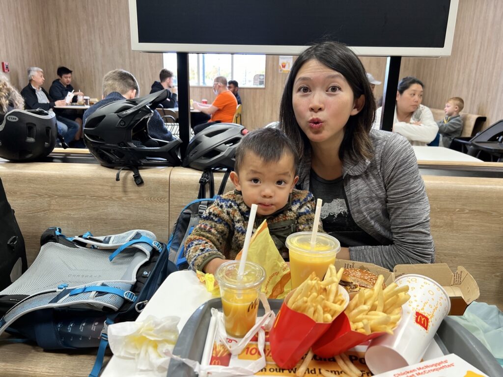
The group stopped for a lunch break in Fremont Village, which offers a lot of food options. We let it slip that there was a MacDonald’s here, so the Happy-Meal-Addicted kids had to come here. It was a little tricky to find, because it’s inconspicuously located inside a Walmart.
North Pitt River/DeBoville Slough
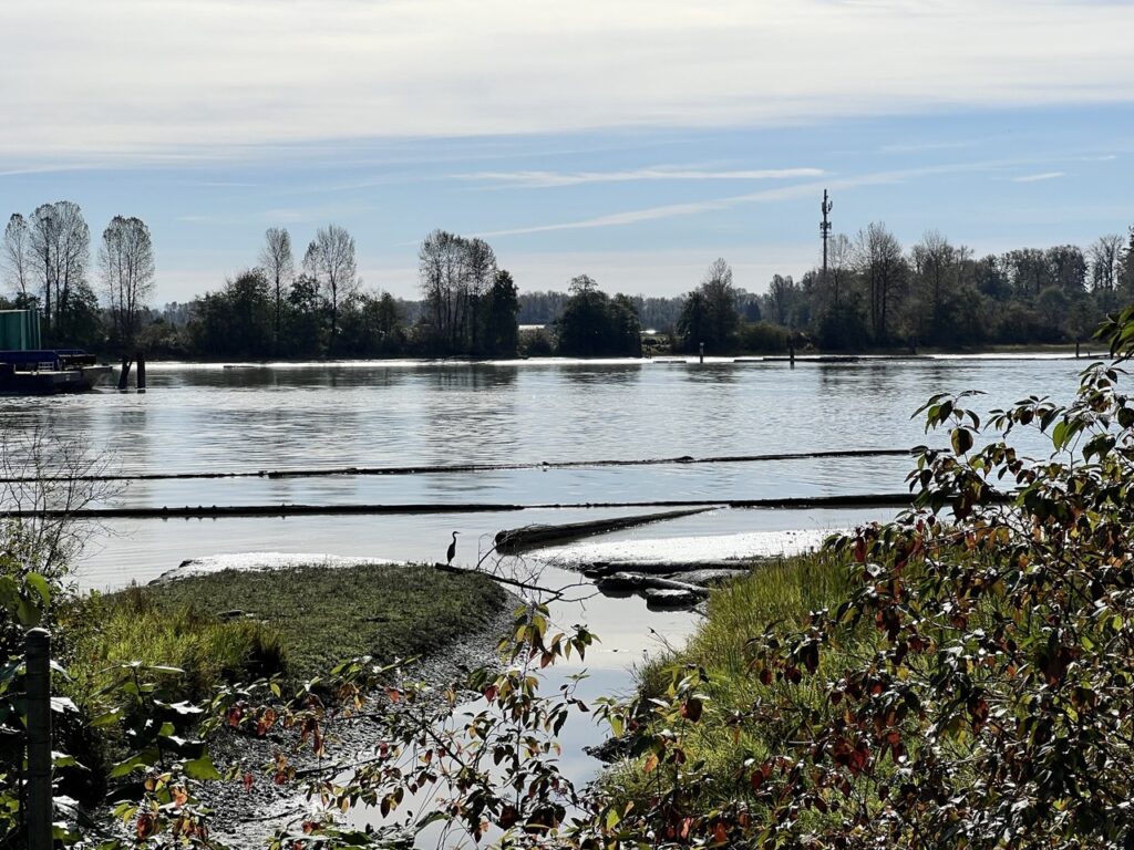
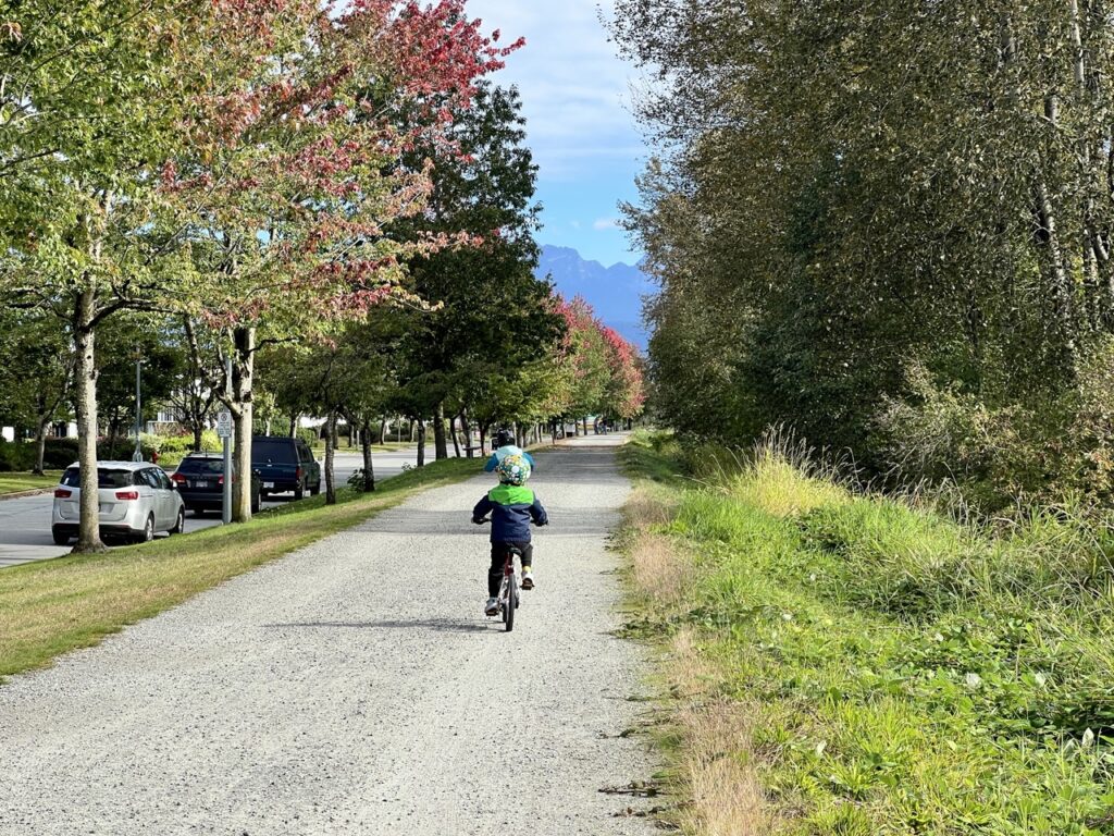
After lunch, Amy and Aaron headed back while we continued on. The views on the North Pitt River section was significantly better, with spectacular views of the mountains in and around Golden Ears. I recommend doing this section from south to north to take full advantage of the views to the north.
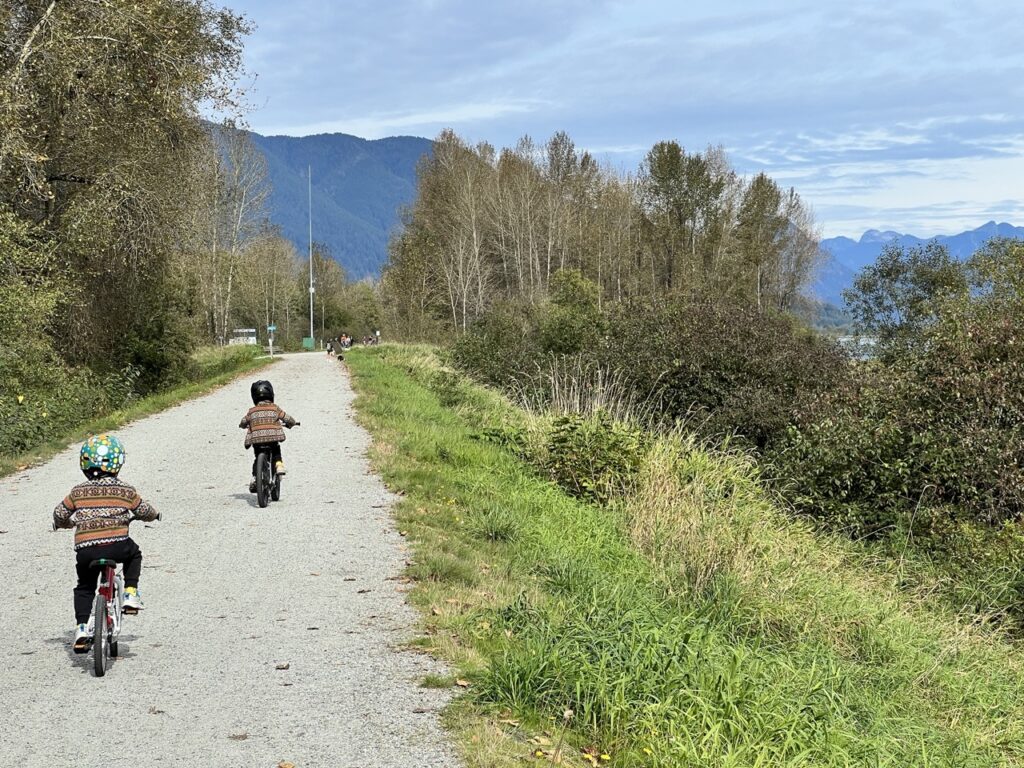

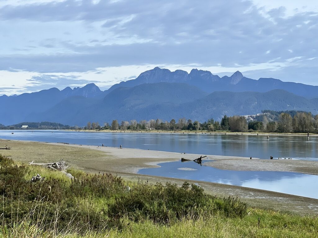
The trail finally turned away from Pitt River and onto DeBoville Slough. The water was very low at this time of the year, so it didn’t look paddle-friendly.
Hyde Creek/Coquitlam River
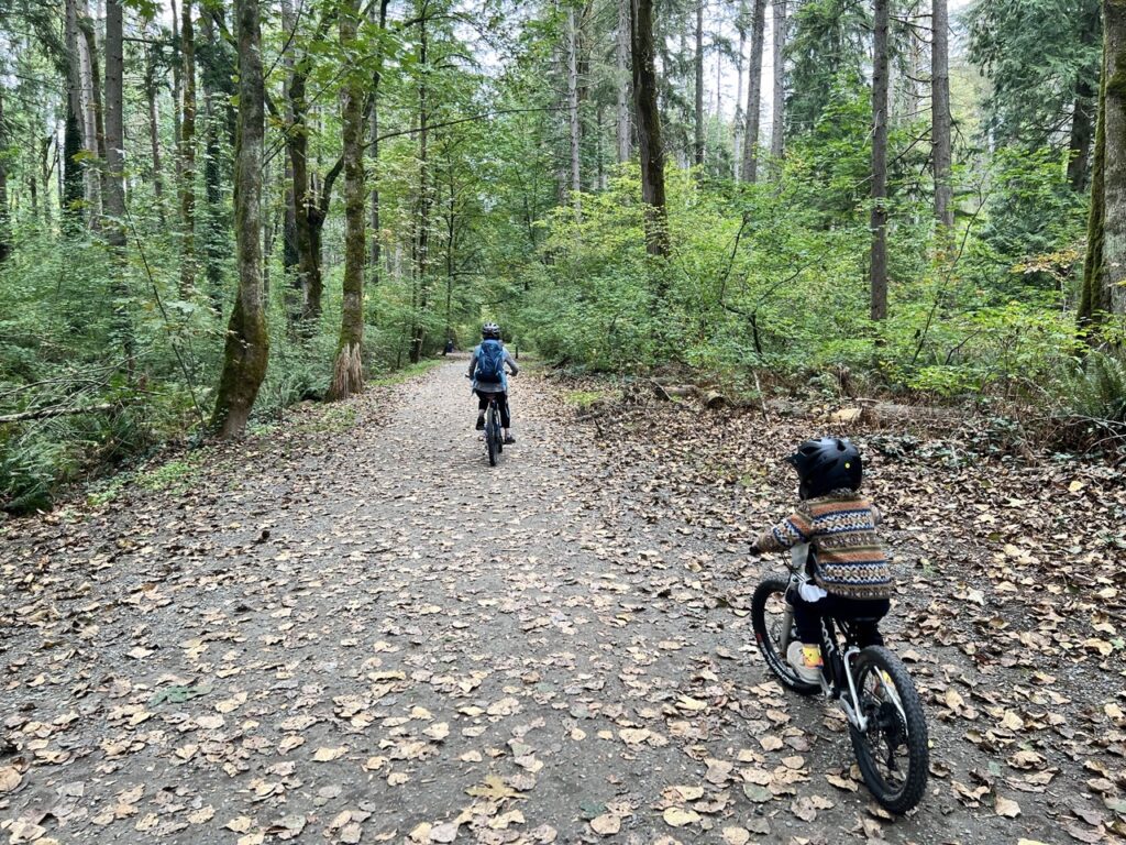
We left the river dykes and after a short connecting section in a residential neighborhood, found ourselves in the tranquility of Hyde Creek Nature Reserve. The lush forest and relatively few people made this the quietest section of the whole loop.


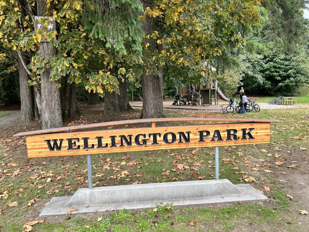
After an all-too-short 1.5km in the nature reserve, we left Hyde Creek behind and arrived at Wellington Park where we took a well-deserved break. This was one of the many parks along this section of the trail.
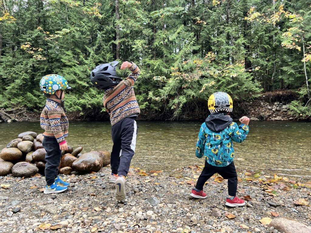
Next was Coquitlam River Park, which was busier with walkers. Amazingly there were still people playing in the river on this cool day.
Downtown
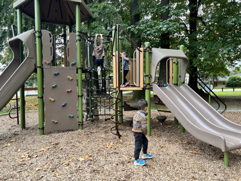
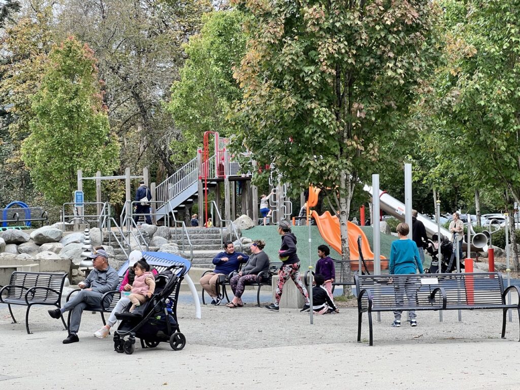
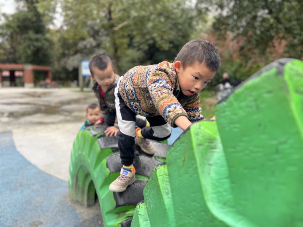
After passing under Lougheed Highway, we arrived at Lions Park. We couldn’t believe it but the boys actually still had plenty of energy left in the tank so they spent another good 20 minutes at the playground before continuing. Near Lions Park there’s Shaughnessy Station Mall with lots of food options too.
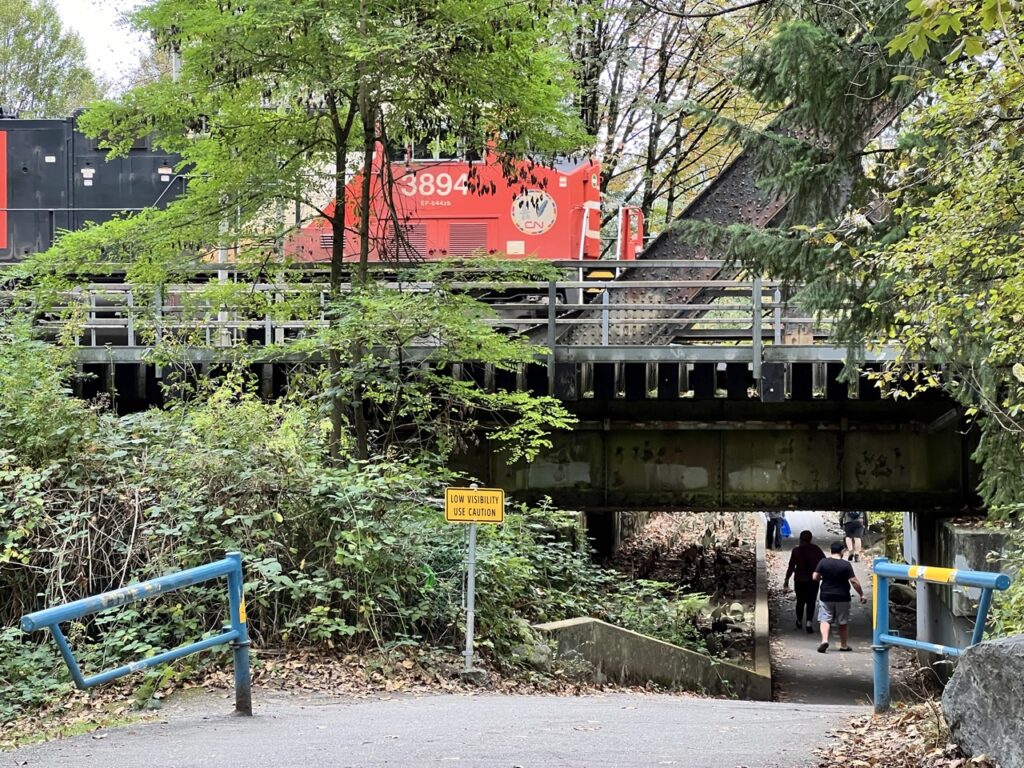
We biked under a wooden trestle while a train roared overhead.
We continued to follow Coquitlam River but it became hidden from view, and got to the sport fields at Gates Park.
ƛ̓éxətəm (tla-hut-um) Regional Park
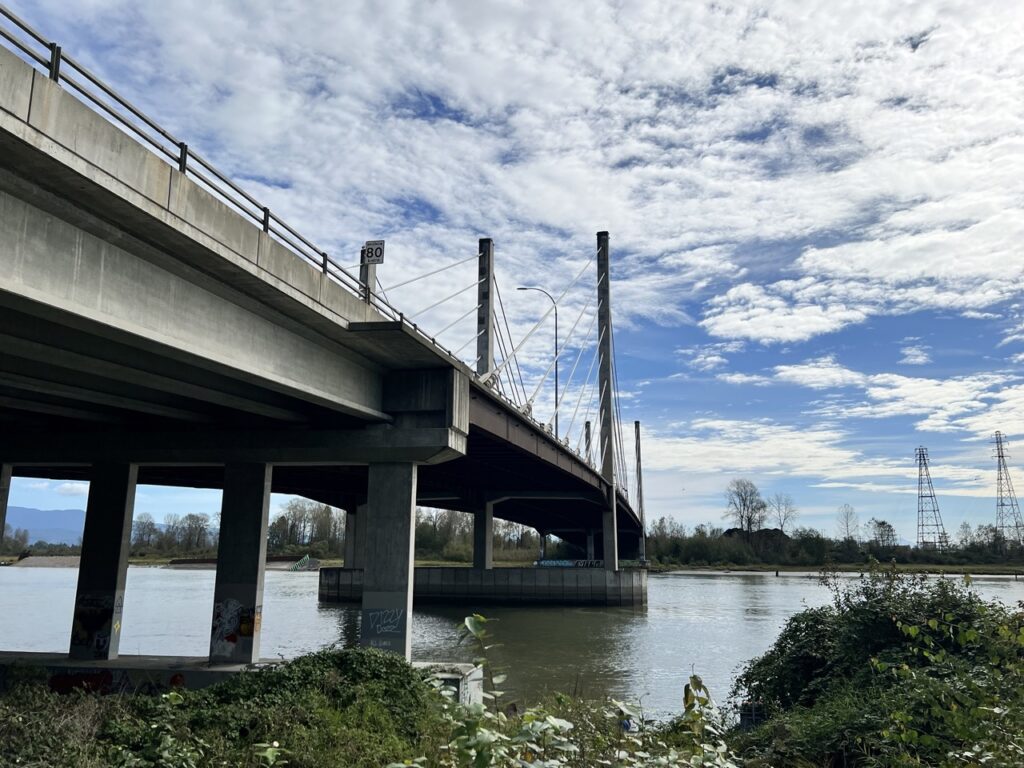
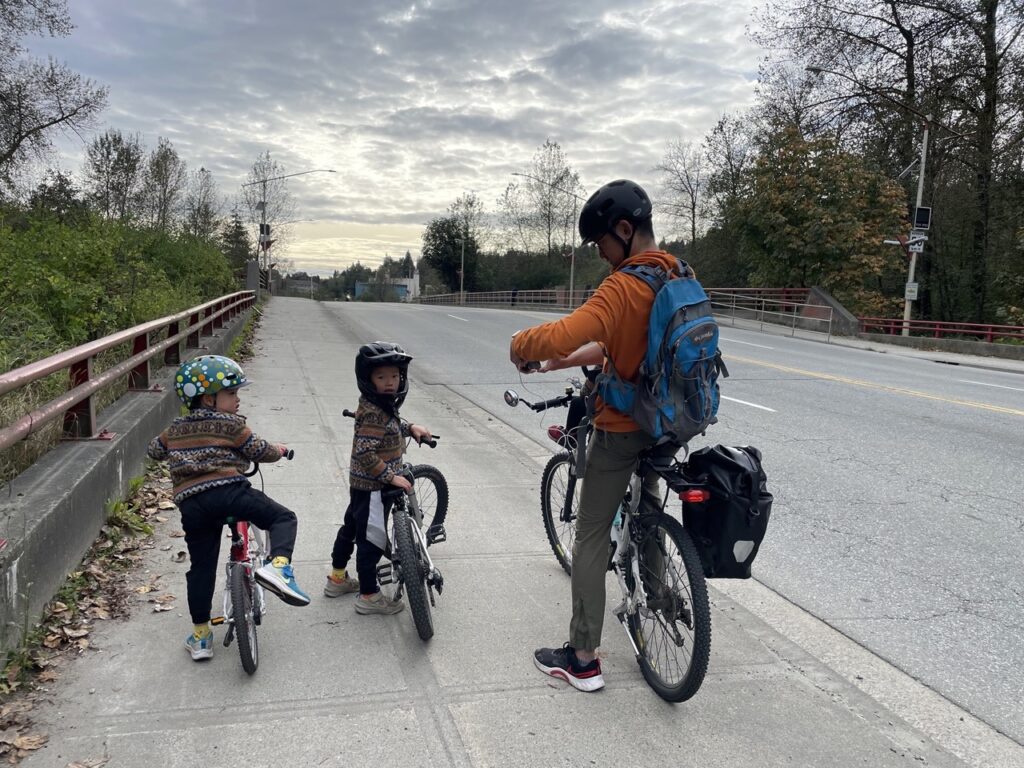
It was a little confusing to cross the Red Bridge, but we had to go under the bridge first and use the southern bike lane on the bridge to cross. The PoCo trail signage was helpful, and so was Strava.
After the Red Bridge, we entered the last leg of the trail: ƛ̓éxətəm (tla-hut-um) Regional Park (previously known as the Colony Farm Regional Park).

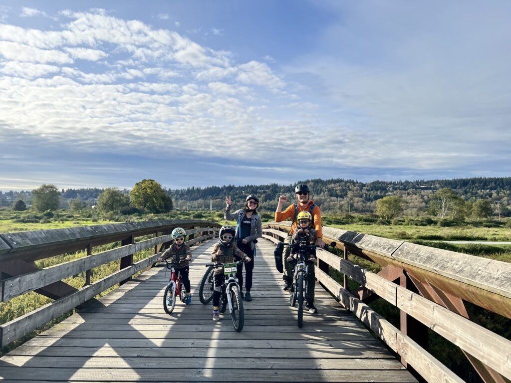
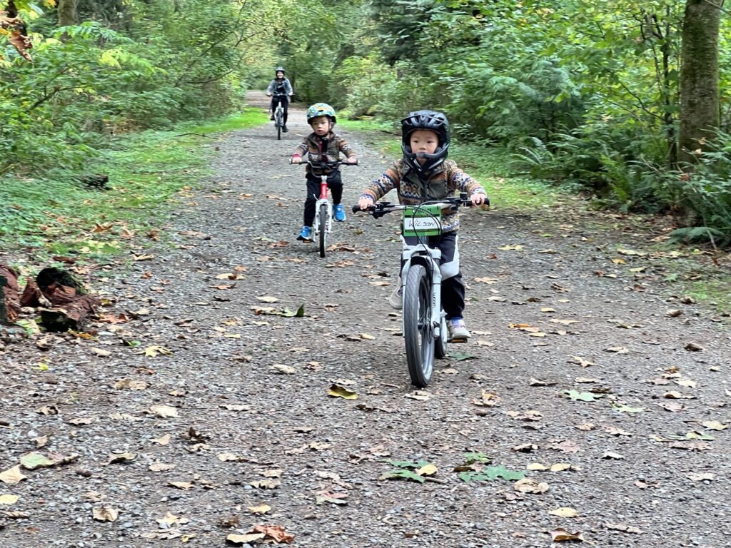
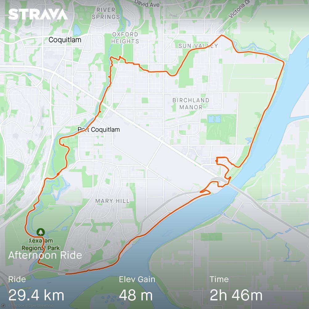
Then, around 5pm, we finished the 25km trail and got back to our car! The total time with lunch breaks, snack breaks, and multiple playground breaks was 6.5 hours. Strava logged our moving time at 2 hours and 46 mins with a total distance of 29.4km.
Not only was this a new record for Big Bro (who previously biked about 22km in Richmond last year), it more than smashed my expectation for Middle Bro who’s not even 5 yet. I can’t even think of a time when I biked for 30km in one day. But the real hero was Tina, whose longest ride before this was less than 10km, and she had much less opportunity than the boys to practice biking.
Before the trip, we made some contingency plans. If Middle Bro became too tired, we would have picked one of the many parks to stop. Tina would wait with Middle Bro and Baby Bro, and I would continue with Big Bro to get the car.
We didn’t even get close to needing a bail out. For the last leg through ƛ̓éxətəm, Middle Bro was losing steam but Tina kept him going with songs and encouragement.
The Traboulay PoCo Trail is a fantastic route for bikers. With the varied views of rivers, marsh, industry, and forests, as well as the many parks to take breaks at, this loop is hard to beat. The only comparable route we’ve done would be the Valley Trail at Whistler, but I think it has more on-road biking than the PoCo Trail if we were to make a 30km loop.