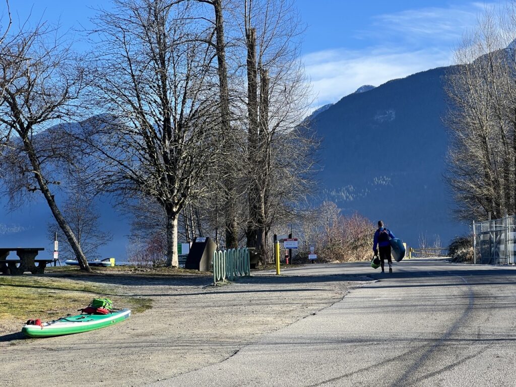
- Parking:
- Grant Narrows Park, free parking from October to May
- Launching
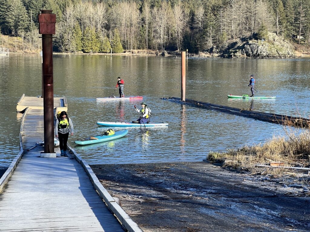
- concrete boat ramp and floating docks
- Difficulty – very large tidal lake, strong wind and waves during warmer months. Large mud flats may trap the unsuspecting paddlers.
- Boat traffic – moderate boat traffic even in the dead of winter. At least 10 motor boats went past us, some at fairly close range
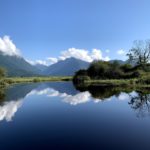
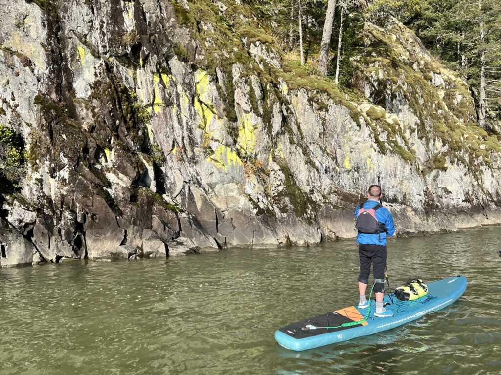
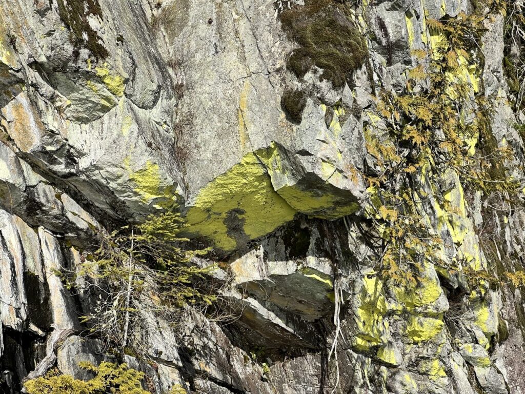
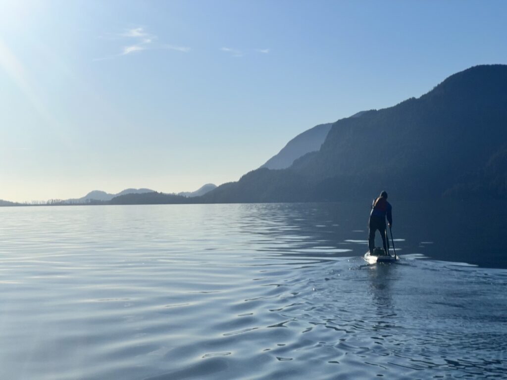
- View – beautiful snow peaks and lush evergreen forests, florescent yellow-green lichen-covered cliff walls
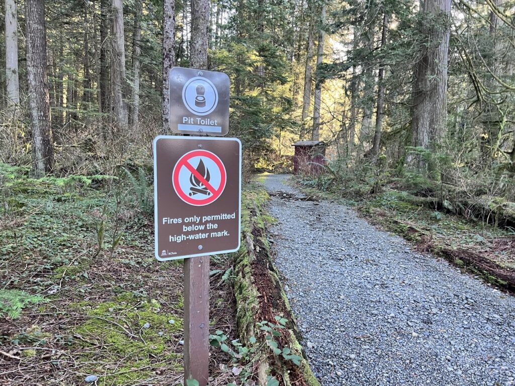
- Facilities – portable toilets at parking lot. Canoe rental during the summer.
- Overall score – 8/10
Pitt Lake is the largest tidal lake in North America, and the second largest lake in our region behind Harrison Lake. The unique tidal nature makes trip planning a little tricky, as the closest tidal station is New Westminster. Some paddlers recommend adding 1-2 hours to account for the lag between New West and Pitt Lake, but others pointed out it’s basically random. On the past few visits to Grant Narrows and Widgeon Creek, I have encountered fairly stiff currents during tide change.
Guidebooks also describe the formidable winds and waves that can build up suddenly on this long and narrow lake that is basically a fjord. “The Vancouver Paddler” stated that the winds are primarily northerly in the summer, but I wouldn’t be surprised if the winds turn southerly in the afternoons like all other large bodies of water in our area. Boaters describe freak waves of 6-7 feet that were dangerous even for smaller motor boats.
Cell reception here is spotty and unreliable as well, so calling for help can be tricky.
All that is to say, Pitt Lake demands respect and is on my list of places that I wouldn’t want to explore by myself.
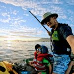
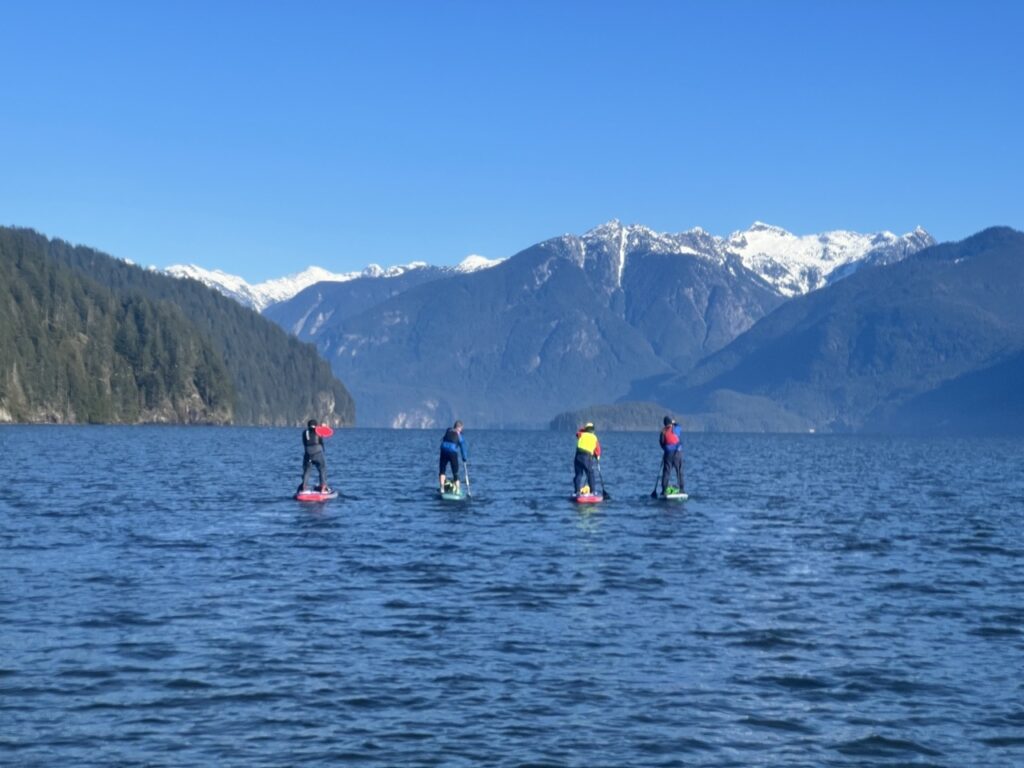
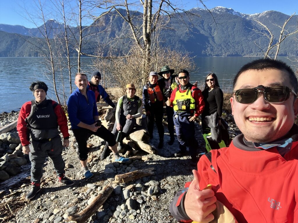
When Victor put out a call for a group paddle to check out some beautiful lichen he found on the lake, I jumped on the chance. The forecast was perfect: a calm, sunny winter day with a high of 5 and a low of 0 degrees, and basically no wind. With the experienced Victor as our guide, this was the perfect chance to get acquainted with this big lake.

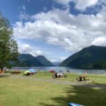
After a few years of discussion between the Katzie First Nation and different levels of government, Grant Narrows Park has been back in operation since 2023. It sure is nice to have access to toilets again at the launch site. The floating docks are also in good shape.
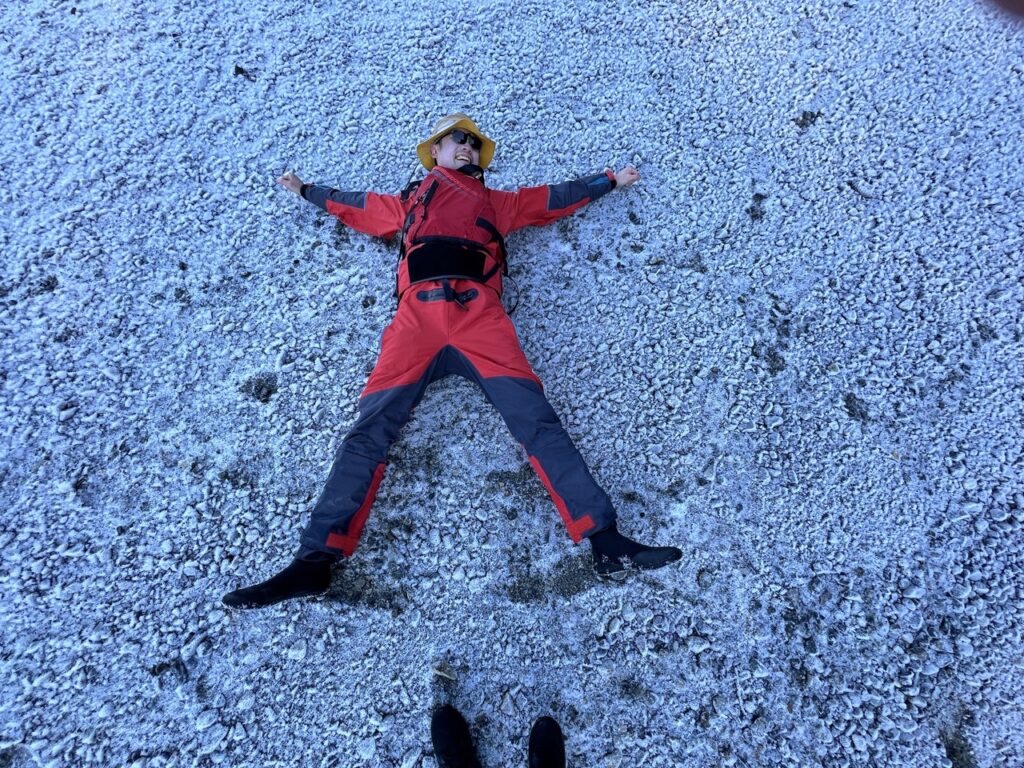
The overnight low was a chilly -9 degrees, so Victor wisely set the launch time for 10:30am to give the sun some time to do its magic.
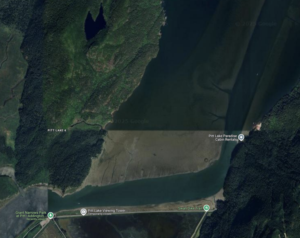
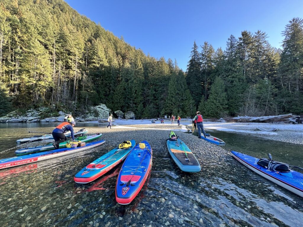
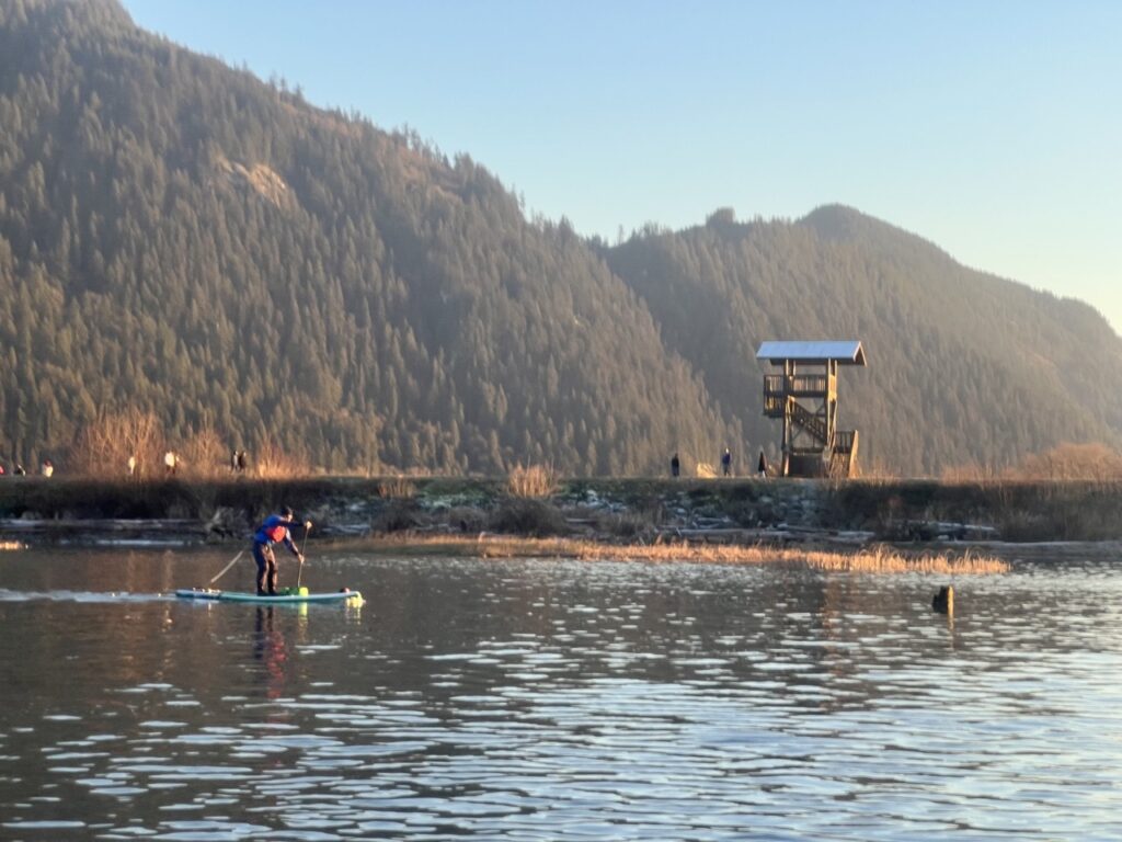
We launched around 11am and headed north. The tide was rising, but our long fins still scraped the famous shallow mud flats at the outlet of Pitt Lake. We changed course slightly to avoid being stranded. The mud flat on the west and the dredged boating channel on the east are both clearly visible on Google satellite images.
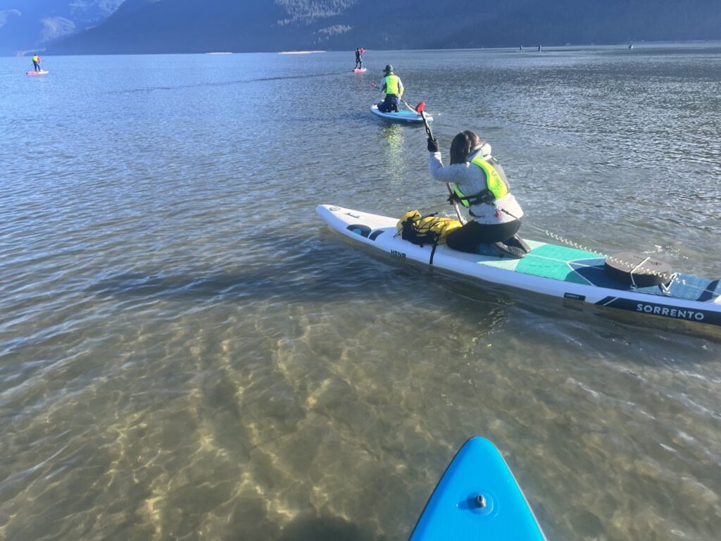
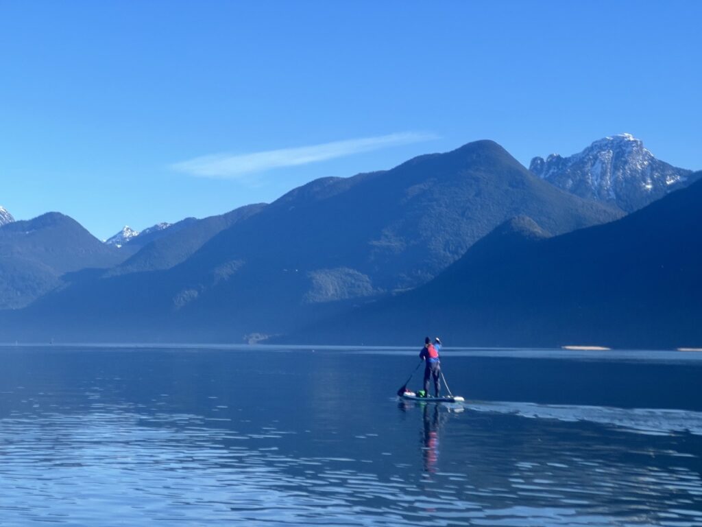
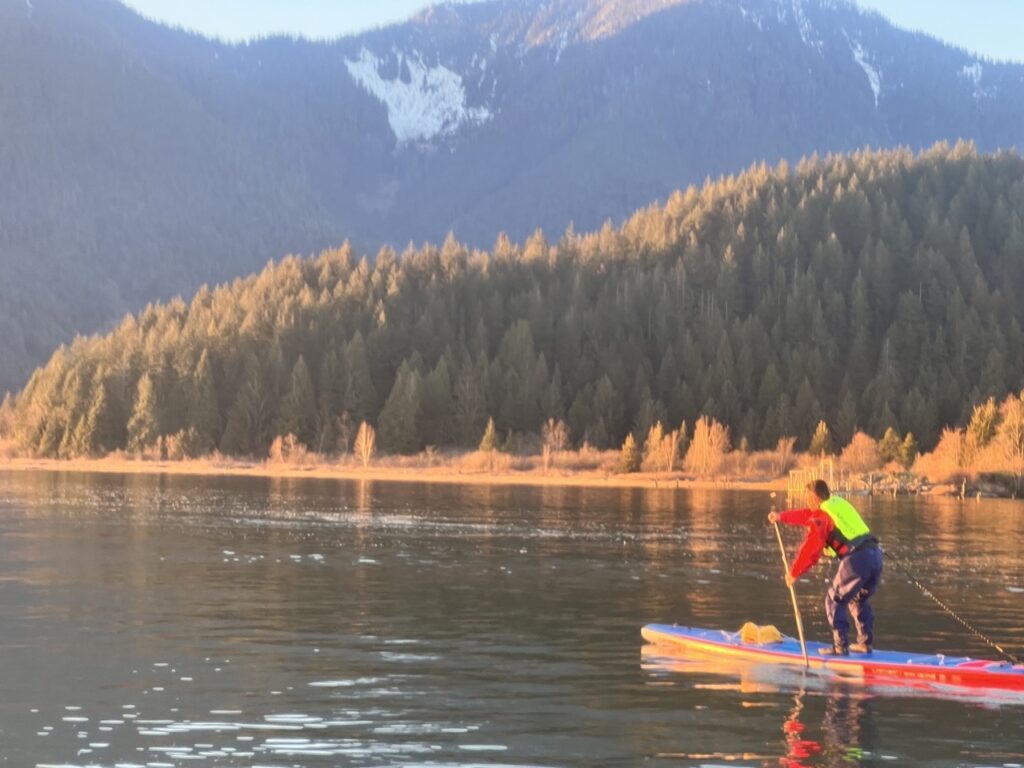
Once we cleared the mud flat, it’s a spectacular short paddle to the cliffs along the western shore to check out some neon yellow-green lichen patches (Chrysothrix chlorina). The views of the snow capped mountain range in Golden Ears were pretty awesome.
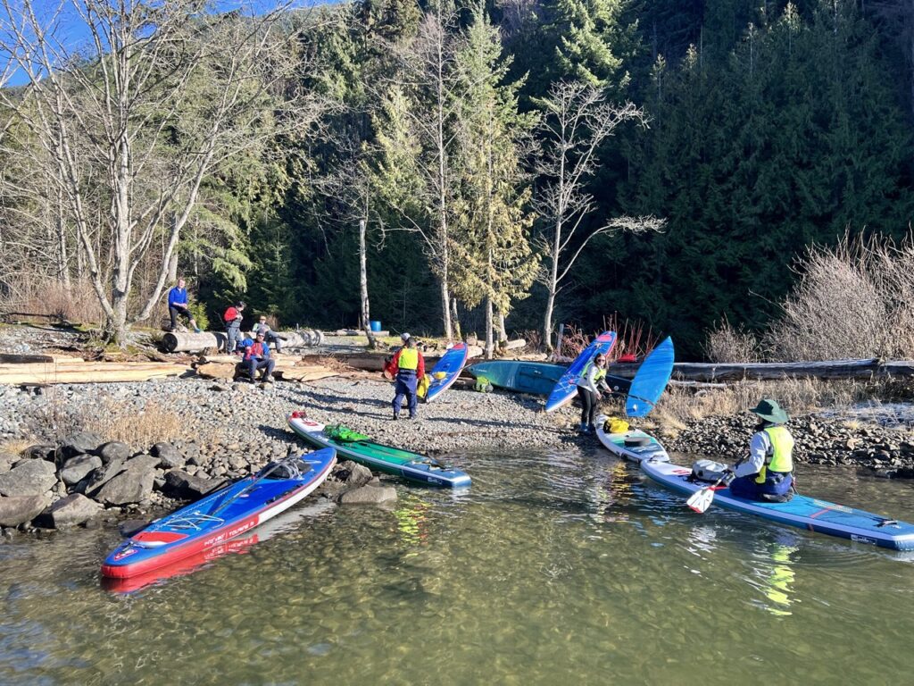
We continued north and paddled past some cottages. About 6km into our paddle, we made a group decision to cut across the lake (a 2.5km open crossing) to check out an unofficial picnic area and Raven Creek Campground.
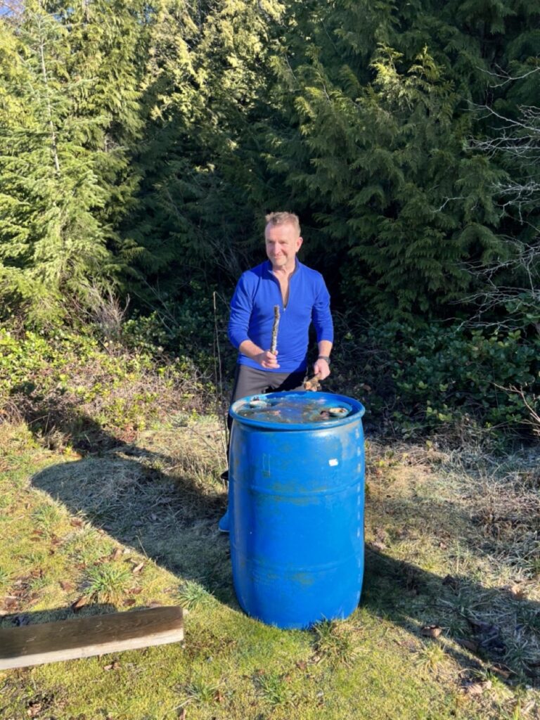
We relaxed and chatted for a bit. Victor played on a large abandoned plastic drum. It’s probably a 55-gallon oil drum but why would anyone bring 55 gallons of oil here?
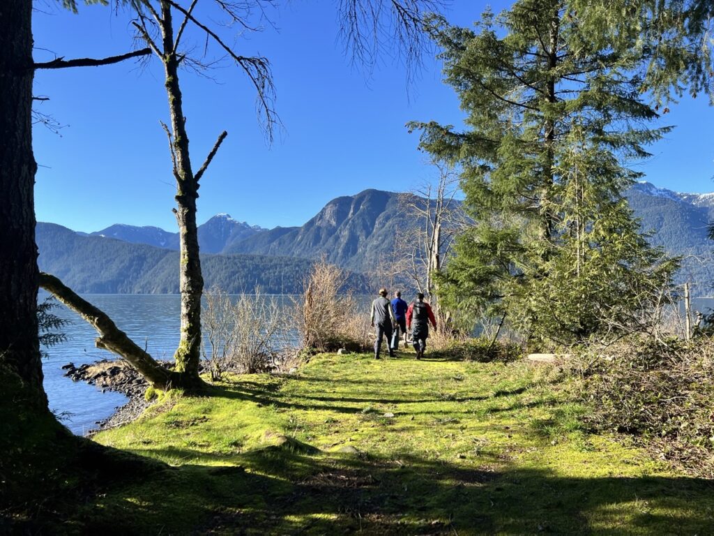
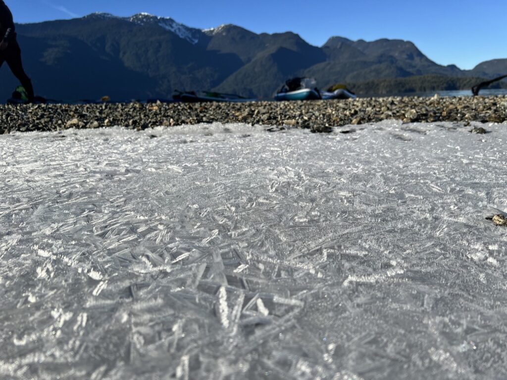
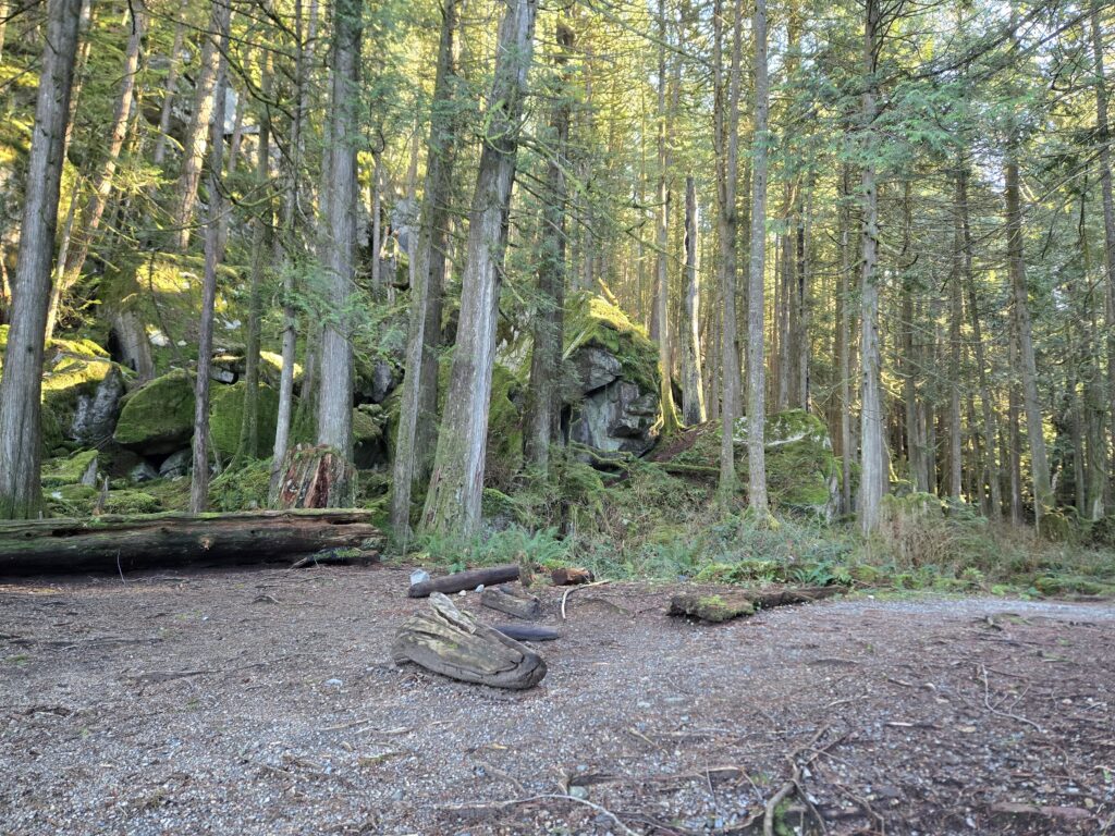
Raven Creek Campground faces north, so most of its shore was still in the shade. Beautiful ice crystals covered the pebbly beach.

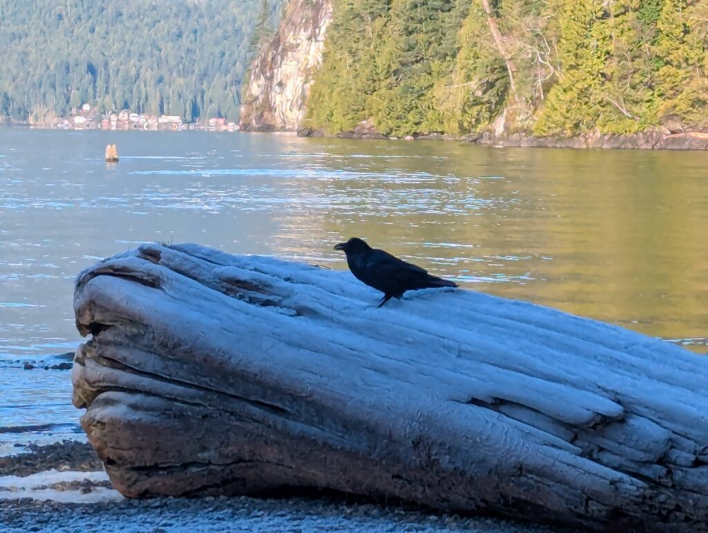
Jaime snapped a photo of a raven sitting on a rock at Raven Creek. Poetic.
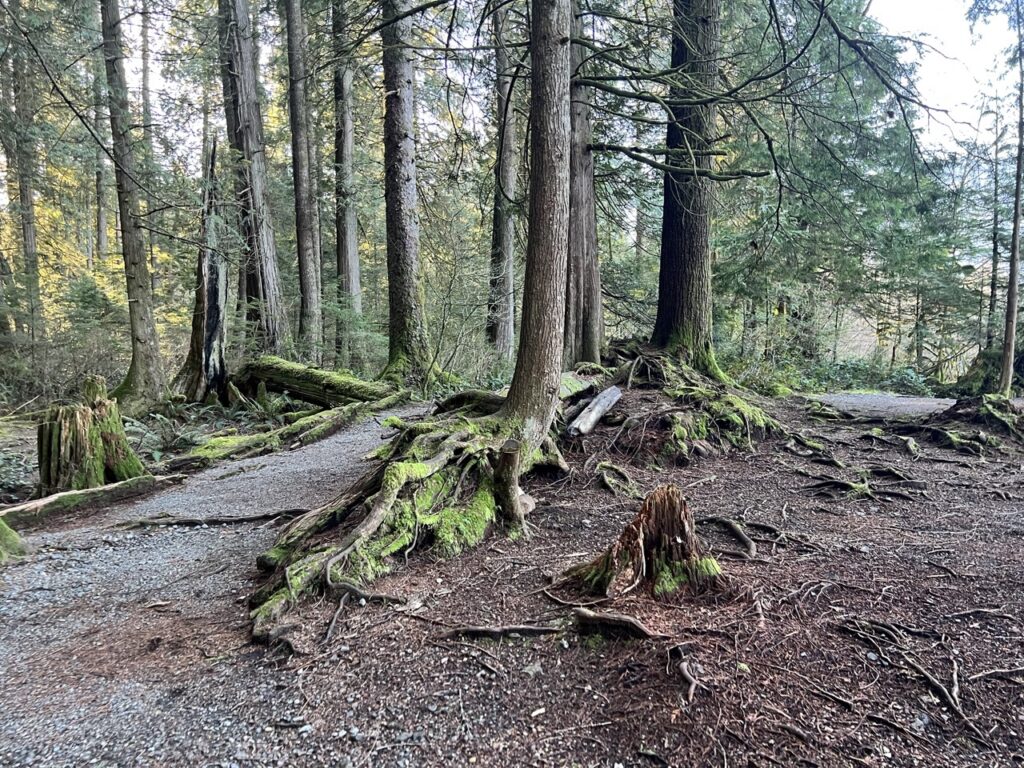
The campground is clean, large, and some of the sites are waterfront. A small creek runs in the summer to provide an alternate source of drinking water besides Pitt Lake itself (of course a camper would still need to treat or filter the water).

It’s a very doable 8km paddle from Grant Narrows to Raven Creek, but due to the convenience, it’s usually quite busy on a summer weekend.

From here, Osprey Creek campground is another 9km to the north. Then another 11km would bring you to the top of the lake, where there’s a boat dock and a logging road that leads deep into the woods. About 20km from the dock on the forest service road, there’s a famous hot spring next to Pitt River. As no one wants to hike the boring 20km FRS, people usually canoe in with a bike or take a water taxi. This would be a bucket list, multi-sport adventure.
But for this outing, we could only dream and make preliminary plans for the future.
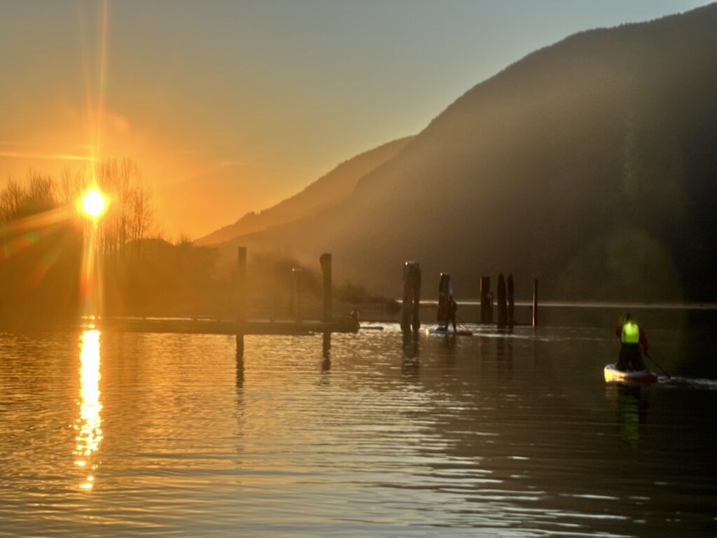
We turned around and paddled into the sun on our return trip. To save on distance, we paddled as straight as possible towards our launch point. Making a huge, 6km open crossing in the middle of the big lake would be a huge no-no on any other day, but for this afternoon, the wind and waves were completely absent.
At 4:30, just as the sun was about to set, we safely pulled up to the boat launch.
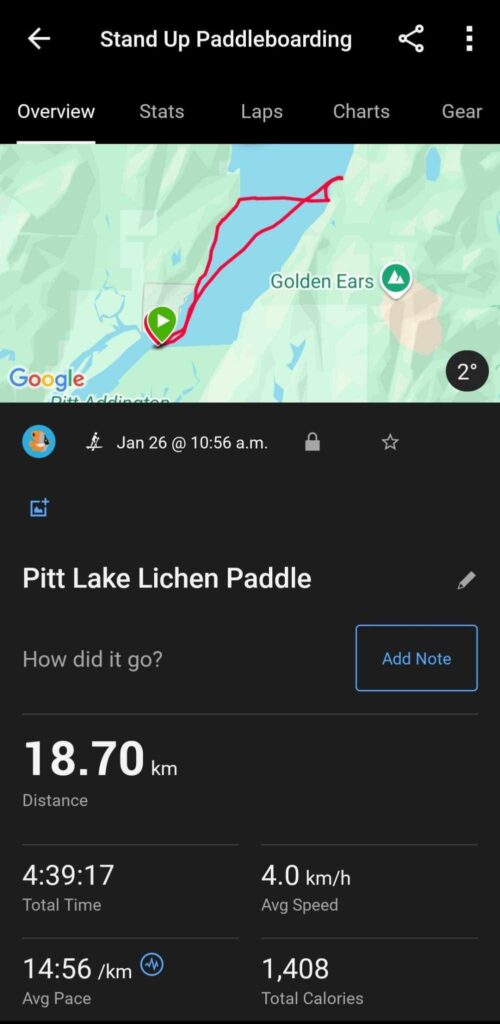
This was a fantastic introduction to Pitt Lake for me. Even though we paddled 18km (some others from our group tracked 20km), we only saw at most 1/3 of the lake. A full circumnavigation would be more than 50km. On BC Marine Trail Map, a few more informal/dispersed campsites are marked, thus making a multi-day paddle camping trip possible.
Discover more from Outdoor Family
Subscribe to get the latest posts sent to your email.